4 of Our Favorite Locations to Shoot Sunset Near Asheville During Winter
Finding a location to shoot sunsets near Asheville in winter can be challenging due to the fact that the Blue Ridge Parkway is closed more often than not during the winter months. I have compiled a short list of some of my favorite locations to shoot sunset to help you get those winter bangers!
Before setting out, you may want to check the Blue Ridge Parkway closures listings. If the weather has been relatively warm and dry, the Parkway might be open, allowing you to access many sunset spots north and south of Asheville.
I highly recommend using a navigation app such as the paid version Gaia GPS to help guide you to some of these spots.
All locations listed below will require some hiking to get to. This means you’ll be hiking back in the dark. Bring a headlamp! Let’s get into it.
Quick location summary:
- Roan Highlands
- Max Patch
- Devil’s Courthouse
- Hawksbill, Linville Gorge
- Bonus spot for members
1. Roan Highlands

This special place had to be first on the list. While not very close to Asheville, this location is worth the 1.5-hour drive. Roan Mountain is gorgeous in any season and the views are hard to beat.
There are three balds near the Carver’s Gap parking area leading north from the Appalachian Trail; Round Bald, Jane Bald, and Grassy Ridge Bald. Each is a good option for sunset, with Round Bald being the closest and easiest option at 0.6 miles.
It does come with some caveats, though. It is almost always cold and windy up there with no protection from the wind. Whatever the temperature is in Asheville, subtract around 15 degrees, and that gives you the temperature atop these balds. Factor in the windchill and you’re subtracting another 10 or 15 degrees. You’ll really want to bundle up for this location! The road can be treacherous going up the mountain if there has been recent snow or ice. Take serious precautions!
Parking and trailhead location:
Carver’s Gap📍 36.10638, -82.11047
(Get Directions)
2. Max Patch

All the same precautions for Roan should be taken with Max Patch. The hike from the parking area is 0.7 miles to get to the top and relatively easy. This area is still recovering from overuse so please stay on the designated trails and pack your trash out with you!
Parking and trailhead location:
📍 35.79652, -82.96245
(Get Directions)
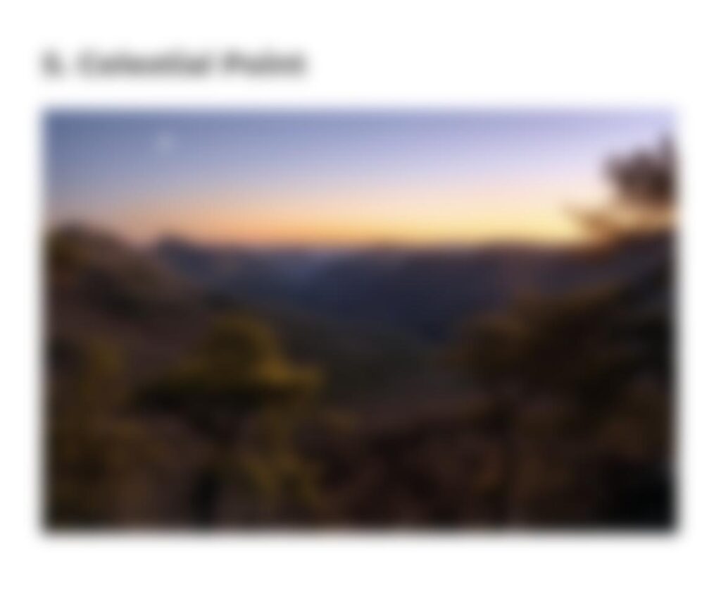
3. Devil’s Courthouse

This is a neat spot to visit in the winter because you’re often the only person up here when the Parkway is closed. It’s also one of the best places to catch snowy scenes in Western NC due to its elevation. Despite this location typically being accessed via the Blue Ridge Parkway, it’s still relatively easy to access even when the Parkway is closed by taking Hwy 215.
You’ll hike along going north on the Parkway from the intersection of Hwy 215 for 1.1 miles to the trailhead. This is an easy stroll as it’s almost entirely flat. Near the Devil’s Courthouse Tunnel you can find the Devil’s Courthouse Trail to the top, which is another 0.4 miles up the very steep but mostly-paved path. Be careful when you get towards the top as there is often ice on the pathway.
The hike back through the dense pine forest is creepy yet peaceful. Beware of the local Bigfoot!
Parking and trailhead location:
📍 35.29852, -82.91102
For this location, you’ll want to park near the gate of the BRP and walk north on the Parkway towards the trailhead to Devil’s Courthouse.
(Get Directions)
4. Hawksbill, Linville Gorge

Hawksbill is maybe the toughest hike on our list but not that bad. It’s one mile from the parking area to the top with 638ft of elevation gain.
Parking and trailhead location:
📍 35.91474, -81.87835
(Get Directions)
Honorable Mentions:
1. Bearwallow Mountain
2. Purchase Knob
3. Fork Ridge Meadow / Green Mountain
🔐 Bonus Secret Location for our Subscribers
Enter your Instagram Subscriber password below to view the content.
We create special content for our subscribers on Instagram. Learn more about becoming a member to access our special content via the button below.


